Center for Spatial Research
More Info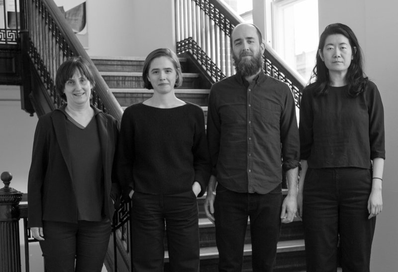
The Center for Spatial Research (CSR) at Columbia University focuses on spatial data analysis at the intersection of design, architecture, urbanism, the humanities, and data science. CSR engages with data in order to understand the forces transforming cities today and to investigate the effects that data-based approaches to urban studies have on cities themselves. Its projects involve collaborations with researchers and advocates across disciplines and institutions. Recent CSR exhibitions include In Plain Sight at the 2018 Venice Biennale of Architecture; Conflict Urbanism: Aleppo at the 2016 Istanbul Design Biennial; and The Brain Index, an installation at the Zuckerman Institute on Columbia’s Manhattanville campus. CSR was founded through a grant from the Andrew W. Mellon Foundation and has received support from the Ford Foundation and the David Lion Gardiner Foundation. It builds on the work of Columbia’s Spatial Information Design Lab in the Graduate School of Architecture, Planning and Preservation.
Established 2015, New York City, USA
Established 2015, New York City, USA
Biennial Project
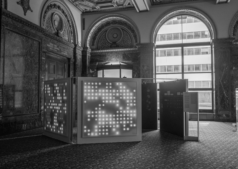
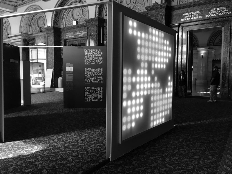
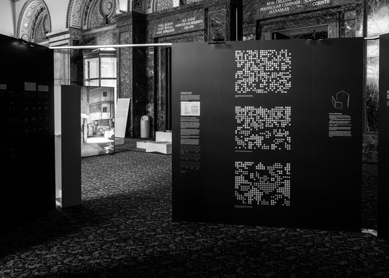
Homophily: The Urban History of an Algorithm, 2019LED light displays driven by an algorithm, explanatory graphics and data visualizations on digital wallpaper, documents from Paul Lazarsfeld and Robert Merton’s archives
Commissioned by the 2019 Chicago Architecture Biennial
Center for Spatial Research project team: Laura Kurgan, Principal Investigator and Director; Dare Brawley, Assistant Director; Brian House, Mellon Research Scholar; Jia Zhang, Mellon Research Scholar
In collaboration with: Wendy Hui Kyong Chun, Canada 150 Research Chair in New Media and Professor of Communication, Simon Fraser University
Graduate research assistants: Alanna Browdy, Rebecca Cook, Audrey Dandenault, Tola Oniyangi, Andrea Partenio, Juvaria Shahid
Graphic design: Studio TheGreenEyl
Research for this exhibition was supported by the Andrew W. Mellon Foundation, the Canada 150 Research Chairs Program, and the Columbia Graduate School of Architecture, Planning and Preservation. Thanks to Leslie Gill Architect for design consultation, and to the Columbia University Rare Book and Manuscript Library, Harriet Zuckerman, and Robert Lazarsfeld for assistance and reproduction permissions on archival materials.
Columbia University’s Center for Spatial Research investigates links between design, urbanism, the humanities, and data science. Homophily: The Urban History of an Algorithm is named after a term coined by researchers Paul Lazarsfeld and Robert Merton in an influential 1954 study of friendships in a public housing project in Pittsburgh. “Homophily” is “the tendency for friendships to form between people ‘of the same kind.’” Focusing on the residents’ attitudes toward racial integration versus segregation, the study concluded that close friendships form and persist not simply on the basis of shared racial identities but also thanks to shared values and beliefs. The model of homophily was born in the larger context of midcentury urban struggles over race and space in the United States, and this installation by the Center for Spatial Research looks at its legacy, presenting data visualizations that show its contemporary applications. What began as a formal explanation of social life in a housing complex has today become an algorithm that shapes social dynamics in digital space, driving everything from targeted advertising to movie and book recommendations to predictive policing on the streets of Chicago. It perpetuates a social world in which positions are reinforced and concentrated rather than challenged or hybridized.